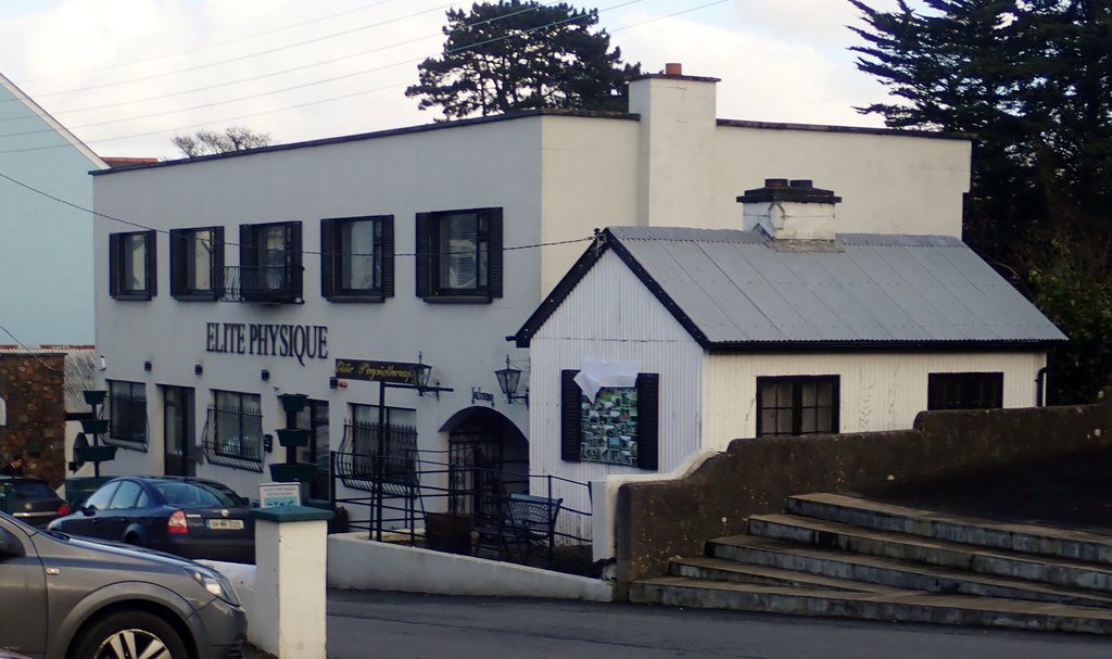
Customs Hut
🧭
omeath🏛️Building
This seemingly innocuous corrugated steel hut was once an important government building. With partition and the establishment of the Free State in 1921, and the ensuing civil war which followed, it was 1923 before the first Customs stations appeared on the landscape, of which this was one. Their rounds included the ferry at Narrowater, the lower shore, Jack’s Harbour, Omeath Quay, the Railway station and Greer’s Quay.
What's Nearby
- The Corner House 0.0 km
- Dublin House 0.0 km
- Bayview Tavern 0.0 km
- Omeath Station 0.1 km
- Grand Central Hotel 0.1 km
Map
Lat/Lon: 54.087832, -6.2581
Updated: 2026-02-13
Updated by: Omeath Historical Society